Flip Forest Photography: Remote Capturing Guide
Flip Forest Photography: Remote Capturing Guide
META: Master remote forest photography with the Flip drone. Learn expert battery tips, D-Log settings, and ActiveTrack techniques for stunning canopy footage.
TL;DR
- Battery management in cold, remote forests can make or break your shoot—field-tested strategies inside
- D-Log color profile preserves critical shadow detail under dense canopy where light variance exceeds 10 stops
- ActiveTrack and obstacle avoidance work together to navigate complex tree formations safely
- Step-by-step tutorial for QuickShots, Hyperlapse, and subject tracking in wilderness environments
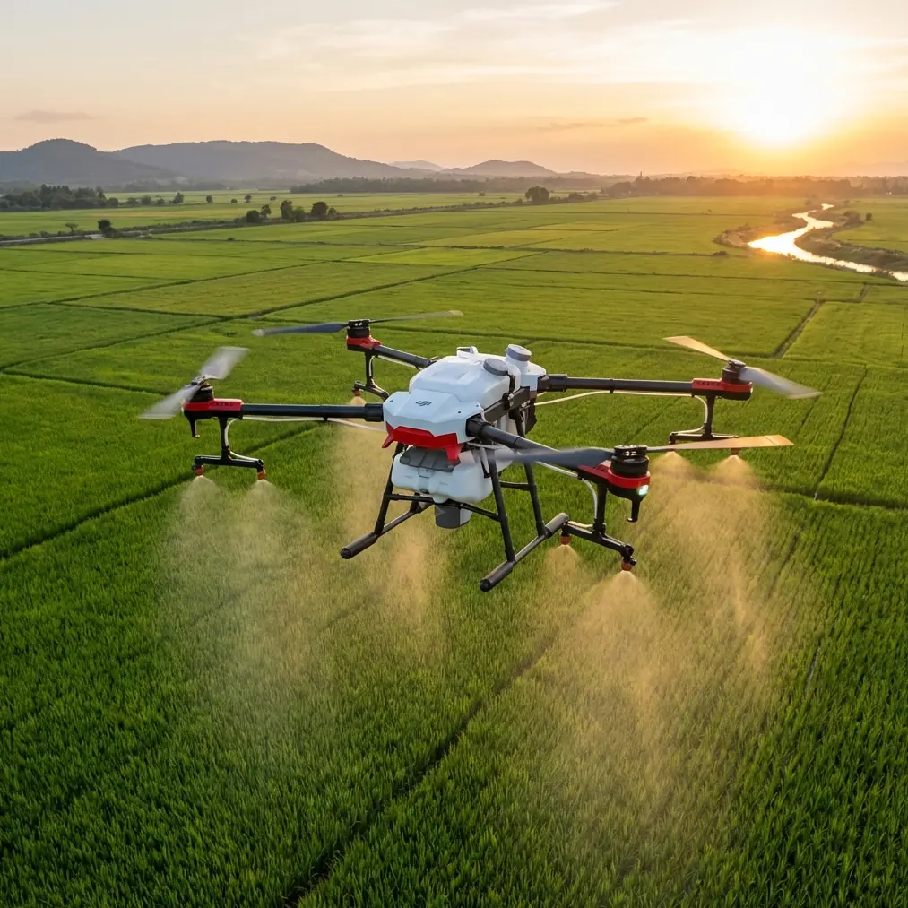
Remote forest photography punishes poor preparation. The Flip gives aerial photographers a compact, capable platform for capturing dense canopy, winding rivers, and wildlife corridors in locations hours from the nearest charging outlet—but only if you know how to deploy it correctly. This tutorial breaks down every critical technique, setting, and field-proven workflow I use to bring back portfolio-grade forest footage on a single expedition.
I'm Jessica Brown, a photographer who's spent the last eight years shooting wilderness landscapes from above. What follows is the exact system I use with the Flip in backcountry forests where cell signal disappears and second chances don't exist.
The Battery Lesson That Changed My Fieldwork Forever
During an autumn shoot in the Pacific Northwest, I lost an entire afternoon of golden-hour footage because I stored my Flip batteries in the outer pocket of my pack. Ambient temperature had dropped to 4°C (39°F), and each battery delivered barely 60% of its rated flight time.
Here's the rule I follow now, without exception: body-warm your batteries. I keep them in an insulated pouch inside my base layer against my torso until five minutes before launch. This single habit recovers 25–35% of flight time in cold environments.
Additional field battery protocols:
- Cycle batteries in rotation—fly Battery A, land, swap to Battery B, then place Battery A back in your insulated pouch immediately
- Never drain below 20% in cold conditions; voltage drop accelerates unpredictably under 8°C
- Carry a minimum of 4 batteries for any remote forest session; plan for 3 usable flights per battery in cold weather
- Mark each battery with colored tape and log flight counts in a small notebook to track degradation over time
- Pre-warm the drone itself by powering on and idling for 90 seconds before takeoff in temperatures below 10°C
Expert Insight: Cold lithium-polymer cells resist charging. If you're using a portable solar panel or power station in the field, warm the battery to at least 15°C before plugging it in. Charging a cold cell damages internal chemistry and permanently reduces capacity.
Setting Up the Flip for Dense Forest Canopy
Forest environments present a unique paradox for drones: the most visually compelling footage lives inside the canopy, but that's also where crash risk peaks. Here's how I configure the Flip before every forest flight.
Step 1: Enable and Test Obstacle Avoidance
The Flip's obstacle avoidance sensors are non-negotiable in timber-heavy zones. Before launching:
- Set avoidance mode to "Brake" rather than "Bypass" so the drone stops instead of rerouting into an unknown obstacle
- Confirm all sensor arrays are clean and unobstructed—sap, moisture, and dust degrade sensor accuracy
- Perform a low-altitude hover test at 2 meters, slowly approaching a tree trunk to verify sensor response
- Set your maximum flight speed to 6 m/s in forested areas to give sensors adequate reaction time
Step 2: Configure D-Log for Maximum Dynamic Range
Forest canopy creates extreme contrast between sunlit gaps and shaded understory. Standard color profiles clip highlights and crush shadows. D-Log solves this.
- Select D-Log in the camera settings menu
- Set ISO to 100 (base) to minimize noise in shadow recovery
- Use manual exposure and meter for the midtones—let D-Log handle the extremes
- Shoot at 4K/30fps for maximum color data per frame
- Adjust white balance manually to 5600K for neutral daylight under mixed canopy
Pro Tip: D-Log footage looks flat and desaturated straight out of the drone. That's intentional. It preserves 2–3 extra stops of dynamic range that you'll recover during color grading. Apply a D-Log-to-Rec.709 LUT as your starting point in post-production, then fine-tune from there.
Step 3: Calibrate the Compass Away from Metal
Forest trailheads often have vehicles, metal gates, or signage. Always walk at least 15 meters from any metal object before calibrating the Flip's compass. A miscalibrated compass in dense forest leads to GPS drift and erratic Return-to-Home behavior—a recipe for a drone lodged 30 meters up in a Douglas fir.
Mastering ActiveTrack Through Forest Corridors
Subject tracking in open environments is straightforward. In forests, it demands deliberate planning because trees constantly interrupt the tracking algorithm's line of sight.
How to Use ActiveTrack Effectively in Timber
- Choose subjects with high visual contrast against the forest floor—a red jacket, a bright kayak on a river, or a white horse on a trail
- Set tracking altitude to 8–12 meters above your subject; this keeps the Flip above most understory obstacles while maintaining a compelling camera angle
- Use "Trace" mode rather than "Profile" mode—Trace follows behind or ahead of the subject, which creates a natural flight path with fewer lateral obstacles
- Pre-scout your tracking route on foot and identify any dead trees, low-hanging branches, or power lines that could intercept the flight path
- Assign a visual observer if possible; a second person watching the drone from the ground catches hazards the pilot's FPV screen may miss
ActiveTrack vs. Manual Piloting: When to Switch
| Scenario | Recommended Mode | Reason |
|---|---|---|
| Subject on a clear trail | ActiveTrack (Trace) | Predictable path, low obstacle density |
| Subject weaving between dense trees | Manual piloting | Algorithm loses lock on rapid direction changes |
| River or creek flyover | ActiveTrack (Spotlight) | Water creates clean sightlines; Spotlight keeps camera locked while you pilot |
| Fast-moving wildlife | Manual with Subject tracking assist | Animals change speed unpredictably; full manual gives faster reaction |
| Ascending through a canopy gap | Manual piloting | Vertical obstacle density too high for automated tracking |
QuickShots and Hyperlapse: Cinematic Forest Footage
The Flip's automated flight modes produce polished cinematic sequences without requiring expert stick skills. In forests, two modes stand out.
QuickShots for Forest Reveals
- Dronie: Launches backward and upward from your subject. Position your subject in a small clearing so the Flip ascends through a canopy gap, revealing the full forest panorama. This is the single most dramatic shot in forest aerial photography.
- Helix: Spirals around and above the subject. Works best near a lone prominent tree or rock formation. Ensure a 15-meter minimum radius is clear of obstacles.
- Rocket: Ascends straight up. Perfect for dense forest—minimal lateral movement means minimal collision risk. The visual payoff is enormous as the camera punches through the canopy into open sky.
Hyperlapse for Forest Atmosphere
Hyperlapse compresses time and amplifies the movement of light, fog, and shadow across the forest floor.
- Set Hyperlapse to "Waypoint" mode for maximum control over the flight path
- Place waypoints along a straight corridor between trees—avoid curves that might route the Flip into timber
- Use intervals of 2 seconds for smooth cloud and fog movement
- Shoot at the lowest available ISO and let the shutter speed extend naturally
- A 20-minute Hyperlapse in waypoint mode yields approximately 10 seconds of final footage at 30fps
Technical Comparison: Flip Forest Flight Modes
| Feature | QuickShots | Hyperlapse | ActiveTrack | Manual |
|---|---|---|---|---|
| Obstacle avoidance active | Yes (limited) | Partial | Yes | Yes |
| Pilot skill required | Low | Medium | Medium | High |
| Best forest use case | Reveals and orbits | Fog and light movement | Following subjects | Dense navigation |
| Recommended altitude | 10–25 m | 15–40 m | 8–12 m | Any |
| Battery consumption | Moderate | High | Moderate | Variable |
| D-Log compatible | Yes | Yes | Yes | Yes |
Common Mistakes to Avoid
1. Launching from the forest floor without a clear vertical corridor. Look straight up before takeoff. If you can't see a patch of open sky at least 3 meters wide directly overhead, find a different launch point. Branches invisible on the FPV feed will catch propellers on ascent.
2. Relying solely on GPS Return-to-Home in dense canopy. GPS accuracy degrades under heavy tree cover. Always set a visual waypoint you can pilot back to manually. Mark your launch point with a bright ground tarp.
3. Ignoring wind above the canopy. Wind speed at canopy level can be triple what you feel on the forest floor. Check forecasts for wind at 50–100 meters elevation, not just surface conditions. If gusts exceed 10 m/s above the canopy, postpone the flight.
4. Shooting everything in automatic exposure. Auto exposure constantly adjusts as the drone passes between sun and shade, creating distracting flicker in your footage. Lock exposure manually and use ND filters (ND8 or ND16) to maintain proper shutter speed for cinematic motion blur.
5. Forgetting to format the microSD card before heading into the field. A corrupted or full card 15 kilometers from your vehicle is an unrecoverable error. Format in-drone (not on your computer) before every expedition and carry a backup card.
Frequently Asked Questions
Can the Flip's obstacle avoidance reliably prevent crashes in dense forest?
The obstacle avoidance system significantly reduces collision risk, but it is not infallible. Thin branches, transparent surfaces, and fast lateral movement can evade detection. Treat obstacle avoidance as a safety net, not a guarantee. Always maintain visual awareness and reduce flight speed to 6 m/s or less in high-density timber.
What is the best time of day to shoot forest footage with the Flip?
The first and last 90 minutes of daylight produce the most dramatic results. Low-angle sunlight creates volumetric rays through canopy gaps—the iconic "god rays" effect. Overcast midday also works well for even, shadowless footage of forest floor detail, especially when shooting in D-Log for maximum tonal range.
How do I recover D-Log footage that looks flat and unusable?
D-Log footage is designed to look flat. Import your footage into editing software like DaVinci Resolve or Adobe Premiere, apply a D-Log-to-Rec.709 conversion LUT, then adjust contrast, saturation, and white balance to taste. This workflow recovers the full dynamic range captured in the field and produces far richer results than footage shot in standard color profiles.
Take Your Forest Photography to Canopy Level
The Flip transforms remote forest photography from a ground-bound limitation into a three-dimensional canvas. Master battery management for cold environments, commit to D-Log for maximum post-production flexibility, and let ActiveTrack and QuickShots handle the complex flight choreography while you focus on composition.
Every technique in this guide comes from real flights in real forests—tested, refined, and proven across seasons and conditions.
Ready for your own Flip? Contact our team for expert consultation.