Inspecting Mountain Construction Sites with Flip
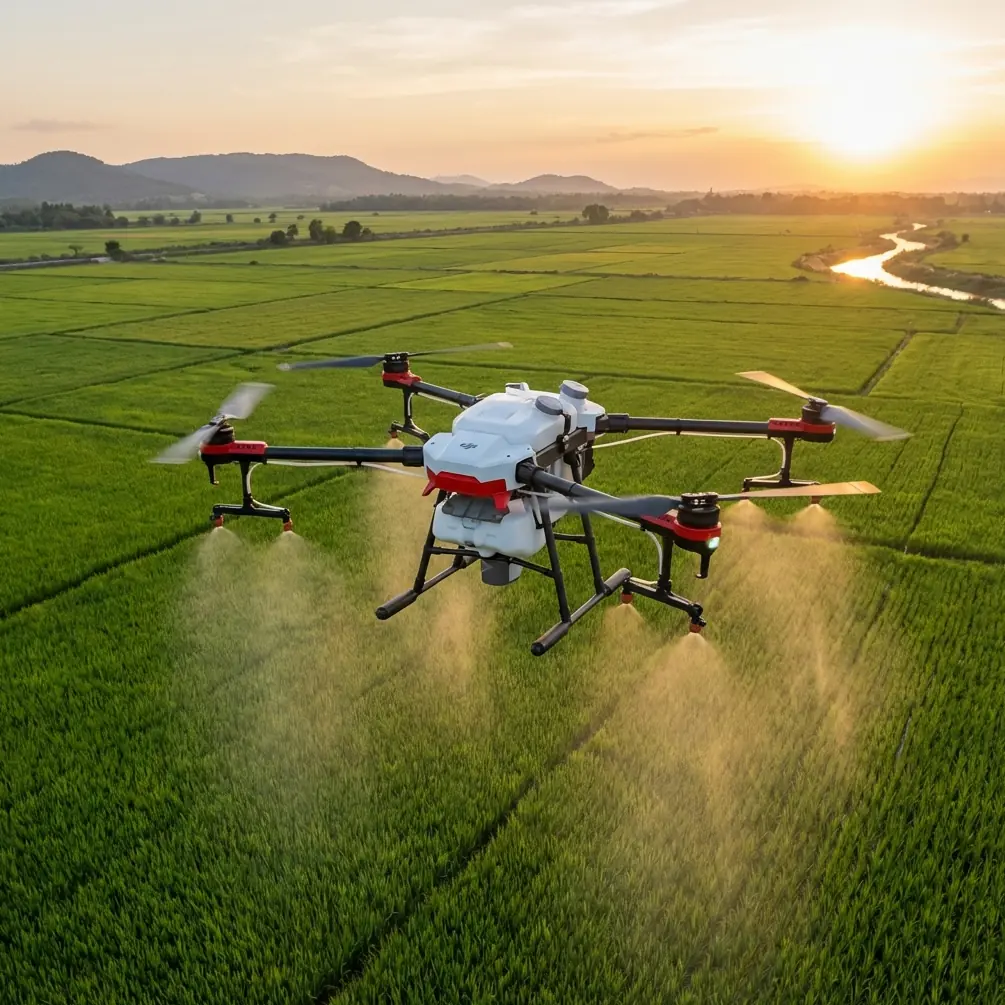
Inspecting Mountain Construction Sites with Flip: Practical Range and Safety Tips
META: Learn how to use Flip for mountain construction site inspections with better antenna positioning, safer obstacle avoidance, stronger tracking, and cleaner footage in complex terrain.
Mountain construction work punishes weak aerial planning.
Steep grades break line of sight. Rock walls interfere with signal paths. Partially finished structures create unpredictable wind funnels. A drone that feels easy to fly over open ground can behave very differently once you bring it into a mountain jobsite with cranes, rebar, retaining walls, cut slopes, and moving crews.
That is exactly why Flip deserves a practical discussion, not a feature checklist.
If your goal is inspecting a construction site in the mountains, the real question is not whether Flip can fly. It is whether you can build a repeatable workflow that protects signal quality, reduces avoidable risk, and still gives you footage and visual data that are actually useful once you get back to the trailer or office. Features like obstacle avoidance, ActiveTrack, QuickShots, Hyperlapse, and D-Log only matter when they are used with terrain awareness and clean field technique.
This article is built around the main problem mountain operators face: distance and visibility are not the same thing. You may be physically close to the aircraft and still have weak control performance if your antenna placement is poor, your launch point is wrong, or the drone is forced to work behind terrain instead of across it.
The Core Problem: Mountain Terrain Shrinks Your Real Operating Envelope
On paper, many pilots think first about maximum range. In the field, especially on a mountain site, usable range is determined by geometry.
A slope can hide the aircraft from the controller long before the drone is “far away.” Temporary buildings, steel framing, scaffolding, excavators, and concrete walls add more signal clutter. Even a short lateral move can make the difference between a strong link and an unstable one if the aircraft slips behind a ridge line or the back side of a structure.
For construction inspection, that matters operationally in two ways.
First, it affects safety. If you lose confidence in the link while the aircraft is near a crane, slope face, or unfinished deck edge, you have less margin to make calm, precise inputs.
Second, it affects data quality. A rushed pilot does not fly smooth passes. They skip facades, abandon orbit paths, and cut short inspection angles. The result is incomplete visual documentation, which often means another flight later.
Flip’s value in this setting comes from pairing compact deployment with intelligent assistance, but the pilot still has to solve the mountain environment. The machine helps. It does not remove physics.
The Most Overlooked Range Fix: Antenna Positioning
If you only improve one habit before your next mountain site inspection, make it this one.
Antenna positioning is often treated like a small detail. On sloped terrain, it is one of the biggest drivers of stable control and video transmission. The objective is simple: keep the controller oriented so the signal path is broadside to the aircraft, not pointed like a spear at it, and avoid shielding the controller with your own body, vehicle, or nearby equipment.
That sounds basic. On a real jobsite, it is easy to get wrong.
Pilots often stand beside a truck, lean against a barrier, or turn their shoulders while watching the aircraft pass across a cut. In that moment, the controller orientation changes, the body blocks part of the signal path, and the aircraft may also be descending behind terrain. The link quality drops for reasons that feel mysterious unless you are thinking in terms of radio geometry.
A better approach is to set a dedicated pilot position before takeoff.
Choose a launch point with the clearest possible view into the inspection corridor, ideally elevated relative to the target area but not so tight to nearby obstructions that the controller sits in a pocket. Face the operating area directly. Hold the controller consistently as the aircraft moves. If the mission requires a long lateral pass along a slope, pivot with the aircraft rather than twisting awkwardly at the waist. Keep your torso from becoming the first obstacle in the signal chain.
This is where mountain inspections differ from casual flying. You are not just pointing a drone at a subject. You are managing a control link through broken terrain and reflective surfaces.
If your team wants a field-ready setup review, send your site scenario through this WhatsApp chat before deployment.
Launch Position Matters More Than Extra Distance
Construction inspections in mountain regions often tempt pilots to launch from the most convenient flat spot. That is not always the smartest spot.
Convenience might place you too low, too close to machinery, or directly behind stockpiled materials. A better launch point can turn a difficult mission into a routine one even if it adds a few minutes of walking.
Look for a position that gives you three things:
- a clean view of the first leg of flight
- space away from metallic clutter and moving equipment
- enough elevation to preserve line of sight as the drone transitions toward the structure or slope
This matters because the first minute of flight often sets the tone for the whole mission. If you launch from a poor location and immediately push the aircraft toward a retaining wall or up along a ridgeline, you are already flirting with degraded signal and awkward control angles. Start from a better perch, and the same route becomes smoother, safer, and easier to repeat.
Repeatability is a big deal on construction jobs. You may need to compare progress week to week from similar angles. A stable launch point combined with disciplined antenna orientation makes those repeat flights far easier.
Obstacle Avoidance Is Helpful, But It Needs a Mountain Mindset
Obstacle avoidance is one of the most useful safeguards on a site filled with unfinished structures and irregular terrain. It can help reduce simple contact incidents with protruding steel, wall edges, equipment, and unexpected vertical elements.
But mountain jobsites create a special trap: pilots begin to trust the system more than the environment.
The issue is not that obstacle avoidance lacks value. It is that jobsite obstacles are messy. Netting, wires, narrow poles, irregular branches at the site perimeter, and partially hidden objects can challenge any automated sensing approach. Add changing light conditions, dust, and variable backgrounds from rock and concrete, and you should think of obstacle avoidance as an assistant rather than a permission slip.
Operationally, the smart use of obstacle avoidance with Flip is to keep it active while planning routes that still leave generous separation from hazards. Do not design inspection lines that depend on the system rescuing a poor approach. Build routes with margin, especially when flying near crane booms, concrete pump lines, temporary fencing, or cliff-adjacent structures.
In mountain work, downdrafts and rotor effects near terrain can also push the aircraft slightly off your ideal track. That extra movement is another reason to leave space even when sensing is available.
ActiveTrack and Subject Tracking: Useful for Equipment, Risky for Assumptions
Subject tracking tools, including ActiveTrack-style workflows, can be genuinely productive on a construction site when used with discipline. They are especially useful for following a vehicle route, documenting the movement of earthworks equipment, or maintaining consistent framing on a defined subject while you focus on airspace and terrain.
Still, mountain construction is not a clean cinematic environment. Subjects move in and out of shadow, pass close to obstructions, and disappear behind structures. The risk is not merely losing the subject. The larger risk is that the pilot starts watching the screen as if the tracking logic is now in charge of collision strategy.
Use subject tracking when the subject path is predictable and the surrounding airspace is forgiving. If the target is moving near vertical obstacles, cable hazards, or abrupt terrain transitions, manual control is often the better option. In those cases, a slow, deliberate pass usually produces better inspection material anyway.
That distinction matters because not every construction flight is a “follow” shot. Inspection work is about seeing details clearly enough to support decisions. Tracking should serve that goal, not override it.
QuickShots and Hyperlapse Are Not Just for Marketing Footage
Many pilots underestimate QuickShots and Hyperlapse because they associate them with polished promo content. On a mountain construction project, both can have practical uses when applied selectively.
QuickShots can help capture repeatable context views of a site from similar vantage patterns. That can be useful when you want a consistent visual summary showing how a road cut, tower foundation, access route, or staging area changes over time. The key is not the style. The key is consistency.
Hyperlapse can also be more than a creative extra. For long-duration site activity, such as concrete pours, crane assembly phases, or traffic flow into a narrow mountain access road, a compressed visual record can reveal patterns that ordinary stills miss. You can spot staging bottlenecks, material congestion, and equipment sequencing problems much faster.
The operational caution is simple: save these modes for windows where airspace and obstacle conditions are well understood. Do not let automated cinematic capture take priority over your primary inspection objectives. Get your required documentation first. Then use automated capture tools to add strategic context.
Why D-Log Can Matter on Mountain Sites
Mountain environments are visually difficult. Bright sky, shaded cuts, reflective concrete, exposed rock, and dark forest edges can all appear in the same frame. That dynamic range challenge is one reason D-Log deserves attention for inspection-adjacent capture.
Used properly, D-Log can preserve more tonal information in scenes with harsh contrast, which helps when reviewing footage of retaining structures, drainage lines, slope stabilization elements, or facade details that would otherwise disappear into deep shadow or clipped highlights.
This does not mean every construction operator needs a complex post-production workflow. It means you should know when a flatter capture profile can preserve detail that supports later analysis. If the purpose of the flight includes stakeholder review, progress documentation, or issue verification, preserving more image information can be valuable.
The practical tradeoff is workflow discipline. If your team needs footage that is ready to share immediately with minimal handling, standard color may be sufficient. If visual detail under difficult lighting is the priority, D-Log gives you more room to work.
A Better Mountain Inspection Workflow with Flip
Here is the problem-solution frame that works in the field.
The problem is not simply distance. It is compounded signal blockage, visual complexity, and compressed decision time in a harsh environment.
The solution is a workflow built around line of sight, controller orientation, route spacing, and selective automation.
Start by walking the site before launch. Identify ridge interference, steel-heavy zones, crane locations, dust sources, and likely dead angles. Then choose a pilot position based on signal geometry, not convenience. Set antenna orientation intentionally. Brief the route in segments rather than as one continuous improvised flight.
On the first pass, prioritize mission-critical inspection material. Capture the slope face, structure edge, roofline, access road, or retaining wall details that the team actually needs. Keep obstacle avoidance active, but maintain your own margin. Use manual flight near dense hazards. Bring in subject tracking only where movement patterns are clean and predictable. Use QuickShots or Hyperlapse after the essential inspection set is complete. Switch to D-Log when lighting contrast is severe and later review quality matters.
This is not flashy advice. It is the kind that saves repeat visits.
What Flip Does Well in This Specific Scenario
Flip fits mountain construction inspection best when you treat it as a fast-deploy observation tool with intelligent support layers.
Its operational strengths show up when access is awkward, time on site is limited, and the inspection path requires a mix of close visual work and broader contextual capture. Obstacle avoidance helps reduce simple close-quarters mistakes. Subject tracking and ActiveTrack-style functions can support controlled follow work. QuickShots and Hyperlapse can create consistent progress visuals. D-Log helps in high-contrast mountain lighting.
But the strongest upgrade is still pilot technique.
That is worth stressing because too many discussions about drone performance focus on abstract specs instead of site behavior. On a mountain build, range is heavily influenced by where you stand, how you orient your controller, and whether you let terrain get between you and the aircraft. Those choices can matter more than any theoretical capability number.
If you are inspecting construction sites with Flip, treat antenna positioning as part of flight planning, not an afterthought. It directly affects link stability, confidence near obstacles, and the odds that one clean mission replaces two compromised ones.
That is what professional use looks like: fewer surprises, cleaner passes, and footage that answers real site questions.
Ready for your own Flip? Contact our team for expert consultation.