How Flip Handles Dusty Wildlife Scouting When the Signal Env
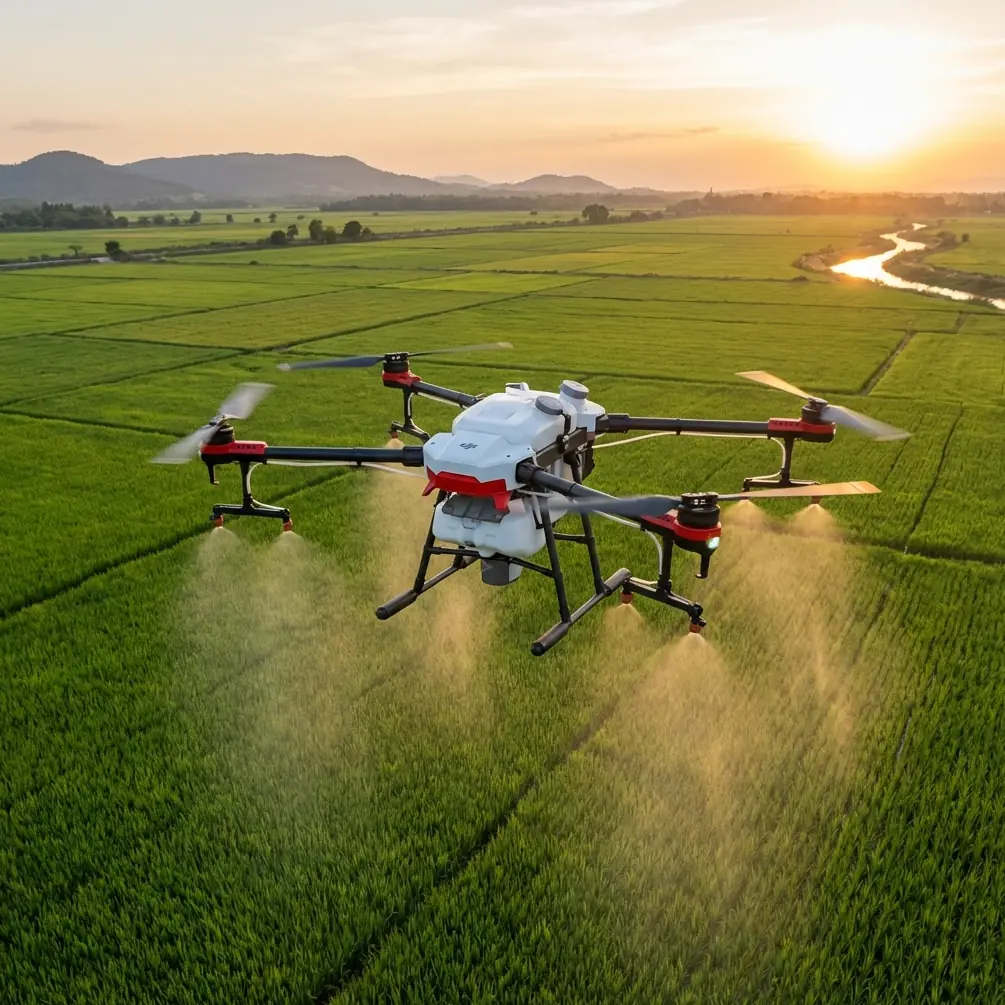
How Flip Handles Dusty Wildlife Scouting When the Signal Environment Gets Messy
META: A technical review of using Flip for wildlife scouting in dusty terrain, with lessons drawn from UAV pipeline inspection systems, GPS-assisted photogrammetry, live video relay design, and antenna adjustment under electromagnetic interference.
Wildlife scouting in dusty country is a strange mix of patience and systems engineering. Animals move when they want. Light shifts fast. The ground throws up fine grit that gets into everything. And if you’re working in remote terrain with relay equipment, vehicles, metal structures, or improvised field stations nearby, signal quality can become just as important as camera quality.
That is why a useful way to think about Flip is not as a casual flying camera, but as a compact field observation platform. The best reference point here comes from an unexpected place: a UAV solution designed for oil pipeline inspection. On the surface, pipeline monitoring and wildlife scouting sound worlds apart. Operationally, they share several pressures: long visual corridors, variable terrain, unreliable conditions, the need for timely imagery, and the constant requirement to maintain control links while making good decisions in the field.
One detail from that reference deserves immediate attention. The inspection setup was not built around the aircraft alone. It combined the drone, high-definition image transmission equipment, ground relay towers, relay devices, antennas, feeder lines, an optional automatic antenna tracker, and an information terminal. That matters for Flip users because it highlights a truth many pilots learn the hard way: mission reliability is a network problem, not only an airframe problem.
Flip in dusty wildlife scouting: why the pipeline model is relevant
When scouting wildlife, especially across dry plains, scrubland, or semi-arid foothills, your biggest obstacles are rarely cinematic. They are practical. Dust softens distant contrast. Heat shimmer can distort visual detail. Animals may stay near ridgelines, drainage cuts, or sparse tree cover where line-of-sight to the aircraft and the pilot is less stable than it first appears. Add electromagnetic noise from vehicles, field batteries, temporary communications gear, or improvised base camp electronics, and the mission becomes more than a simple launch-and-follow exercise.
The pipeline inspection reference described a platform using GPS-assisted aerial triangulation for digital photogrammetry. In wildlife terms, this same logic is powerful. If you are documenting animal movement corridors, water access points, grazing damage, or nesting zones, georeferenced image capture is far more useful than isolated clips. It allows repeated observation over time, comparison between flights, and cleaner interpretation when you need to match what you saw in the air to what is actually happening on the ground.
Flip becomes especially relevant here when paired with disciplined flight planning. The reference notes that ground control software included three operational phases in one workflow: Mission Plan, Flight Control, and Play Back. Those three functions map almost perfectly onto serious wildlife scouting.
- Mission planning defines search corridors, safe heights, sun angle, and likely animal pathways.
- Flight control is where obstacle avoidance, subject tracking, and route discipline matter most.
- Playback is where the mission either becomes useful data or remains just another flight.
That structure is simple, but it separates recreational flying from repeatable field work.
What dusty environments actually demand from a drone
Dusty conditions punish weak assumptions. A drone may fly beautifully in mild park conditions and still struggle as a serious observation tool once visibility, surface texture, and airflow become less forgiving.
The pipeline inspection material highlighted a modular UAV design that had undergone repeated terrain testing and was valued for durability and stable performance in difficult environments. That emphasis on hard-environment reliability is directly applicable to Flip, even if the form factor and user profile are different. In dusty wildlife scouting, you want three things from the platform:
- Predictable low-altitude handling
- Stable image transmission for live decision-making
- A workflow that still produces useful output when conditions are less than ideal
Dust changes the visual scene in subtle ways. It can flatten depth cues, making obstacle avoidance more important around isolated trees, fencing, rocky outcrops, and dry gullies. It can also confuse a pilot’s visual judgment about speed and spacing. This is where Flip’s obstacle avoidance and ActiveTrack-style subject tracking features are more than convenience functions. In field use, they reduce cognitive load. You are not just trying to keep the aircraft airborne. You are trying to interpret animal behavior, maintain respectful standoff distance, and avoid abrupt flight corrections that can disturb the scene.
Subject tracking matters most when animals move diagonally across inconsistent terrain. In dusty areas, the eye often loses fine detail first, especially near the horizon. A reliable tracking function helps maintain framing while the operator monitors terrain, wind, and signal health. It does not replace pilot judgment, but it buys attention at the exact moment attention becomes scarce.
Electromagnetic interference: where antenna adjustment stops being a minor detail
The prompt here specifically points toward electromagnetic interference and antenna adjustment, and that is the right place to get technical.
In the pipeline inspection reference, the communication chain included antennas, feeder lines, relay devices, and even an optional automatic antenna tracker. That system architecture exists for one reason: signal integrity in the field is fragile. Wildlife scouting teams often underestimate how quickly a clean link can degrade when camp gear, vehicle radios, battery systems, metallic structures, and terrain reflections combine.
With Flip, electromagnetic interference usually shows up in familiar ways:
- Video feed instability
- Increased latency
- Reduced control confidence
- Unexpected drops in image transmission quality
- Inconsistent responsiveness during directional flight
When that begins to happen, antenna adjustment is not a superstition. It is one of the first operational corrections worth making.
A practical rule: do not point antennas carelessly and assume the system will sort it out. Reorient the pilot position if needed. Reduce blockage from vehicles or metal cases. Adjust antenna angle to favor the aircraft’s actual flight corridor, not its takeoff point. If you are working a long, low route parallel to ridges or dry channels, small changes in body position and controller orientation can noticeably improve link stability.
This is where the relay-based pipeline model offers a useful lesson. The original solution treated communications as an engineered layer rather than a background feature. For Flip users, the civilian takeaway is clear: if wildlife scouting matters, build a field habit around link management. Before blaming wind or software, check the physical signal geometry.
In dusty terrain, that geometry gets worse when you drop behind slight rises or fly near reflective surfaces like parked vehicles, fencing, utility hardware, or temporary camp infrastructure. Even modest interference can affect live monitoring. If you’re trying to identify herd movement or confirm whether a group has crossed a track or remained near water, feed quality matters in real time.
If your team is trying to refine field setup for these conditions, you can message a technician here to compare antenna positioning and mission layout options.
Why live video transmission changes the mission
Another operational detail from the reference stands out: the UAV system could be equipped with timely video transmission for immediate monitoring, command, and dispatch. For wildlife scouting, live transmission is not about spectacle. It changes who can make decisions and when.
A field biologist, land manager, or conservation coordinator does not always need to pilot the aircraft personally. But they often need to see what the aircraft sees while the mission is active. That lets them redirect attention toward spoor, damaged fencing, watering points, animal congregation areas, or unexpected movement patterns. In practice, this shortens the loop between observation and action.
Flip’s live-view capabilities become much more valuable when used this way. Instead of collecting footage first and evaluating later, the aircraft supports adaptive scouting. If dust is building in one corridor and reducing image clarity, the team can alter angle, height, or pass direction immediately. If a target group enters denser cover, subject tracking and controlled repositioning can preserve useful visual continuity.
This is especially helpful in small survey zones. The reference explicitly notes that in poor climate conditions and smaller survey areas, low-altitude UAV imaging has become an efficient and lower-cost way to obtain large-scale 4D products quickly. Even if a wildlife team is not generating formal 4D mapping deliverables, the principle still applies: small areas under difficult weather often reward low-altitude, flexible drone work more than slower, more rigid observation methods.
Mapping value: not just footage, but repeatable field evidence
One of the stronger technical points in the source material is its focus on automated processing output such as DEM, DOM, and digital linework, with mapping scales including 1:1000 and 1:2000. For wildlife scouting, those exact deliverables may not always be required, but the mapping mindset is valuable.
A scouting flight should answer one of three questions:
- What is happening right now?
- What changed since the last survey?
- Where should the field team go next?
Flip can support all three when flights are planned deliberately. If you use consistent route geometry and stable capture settings, D-Log can preserve tonal flexibility in dusty, low-contrast scenes, which helps later review. Hyperlapse and QuickShots are often discussed as creative modes, but they also have practical uses when handled intelligently. Hyperlapse can document broad landscape change over time in a visually interpretable way. QuickShots, while not a substitute for mission planning, can help capture fast contextual overviews around water points, habitat edges, or access tracks.
The real gain comes when imagery is repeatable. Once your wildlife scouting flights are tied to position, altitude, timing, and playback review, Flip stops being just a camera drone. It becomes a lightweight observation instrument.
The role of playback in better field decisions
The source material’s mention of Play Back as a formal operational stage is more significant than it looks. Many drone users spend too much attention on the flight and too little on review discipline.
Playback matters because dusty wildlife scouting usually involves partial information. You may only glimpse movement through brush. You may notice a dust trail before the animals themselves. You may need to review whether a path seen from the air is fresh use or old surface marking. Immediate playback on site lets you validate observations while the team is still positioned to act on them.
That could mean:
- Sending a ground team to a confirmed crossing point
- Re-flying a corridor at a different angle
- Logging habitat disturbance with stronger spatial confidence
- Confirming whether a tracked subject was actually the target species group
This mirrors the pipeline inspection logic almost exactly. The aircraft gathers data, the link keeps operators informed, and the review stage turns raw capture into operational clarity.
Final technical take
The most useful lesson from the pipeline inspection reference is not that wildlife scouting should imitate industrial inspection point for point. It is that strong drone operations are built as systems. The aircraft matters. But so do transmission design, mission structure, terrain-tested reliability, GPS-backed image logic, and post-flight review.
Two reference details are especially relevant. First, the communications stack in the inspection solution included antennas, relays, and optional tracking hardware. That underlines how critical signal management is when electromagnetic interference or terrain begins to erode confidence. Second, the workflow explicitly covered three phases—Mission Plan, Flight Control, and Play Back—which is exactly the discipline that helps Flip perform well in dusty wildlife scouting rather than merely producing attractive clips.
If you use Flip with that systems mindset, its modern features—obstacle avoidance, ActiveTrack, D-Log, QuickShots, and Hyperlapse—become operational tools rather than marketing labels. In a dusty field environment, that distinction means everything.
Ready for your own Flip? Contact our team for expert consultation.