Surveying Power Lines at 4,000 m: A Flip Pilot’s Field
Surveying Power Lines at 4,000 m: A Flip Pilot’s Field Routine for Clean Data and Safe Returns
META: High-altitude power-line inspection workflow with DJI Flip: pre-flight wipe-down, obstacle-avoidance tuning, D-Log exposure, Hyperlapse capture, and post-processing tips from a working pilot.
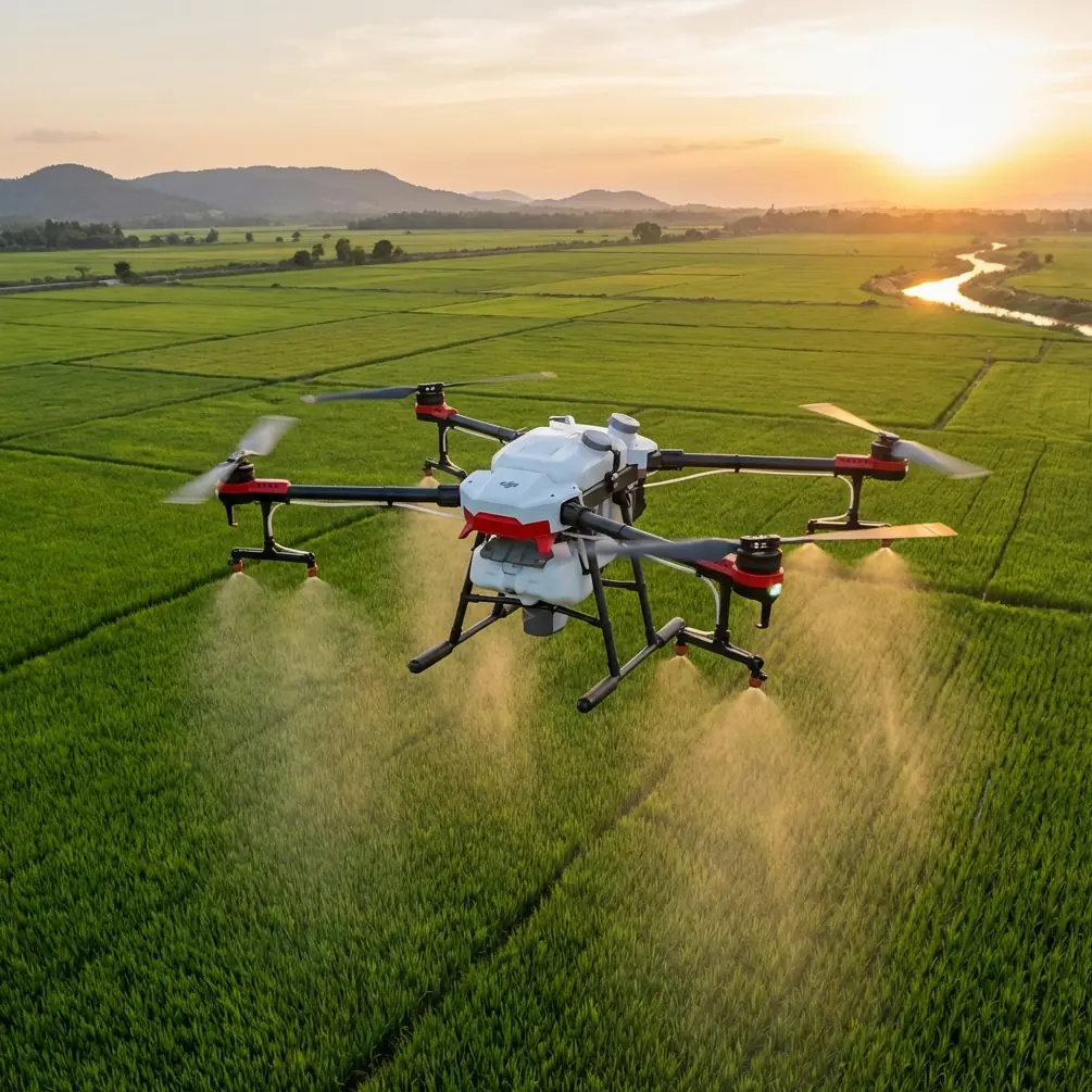
The sun hits the aluminum conductors first, long before it warms my fingers. At 4,000 m the air is 37 % thinner than at sea level; the props have less bite, the batteries sag, and every minute in the sky costs two on the ground in oxygen debt. I’ve been inspecting 220 kV lines across the western plateau for three seasons, and the one tool that has never missed a flight is a fresh microfiber cloth tucked in the left pocket of my vest. It isn’t for the lens—it’s for Flip’s forward vision sensors. A single streak of road dust can fool the obstacle-avoidance algorithm into seeing a phantom guy-wire, and up here “brake hard left” is a sentence you don’t want written in the flight log.
Below is the exact routine I run when the job is a 15 km stretch of steel lattice towers, minus the corporate filler you’ve already read elsewhere.
1. Wipe the eyes before you wipe the card
Flip’s binocular vision system relies on two glass windows no larger than a postage stamp. One grain of quartz dust refracts the stereo pair just enough to shift the calculated distance by half a metre—plenty to tag a spacer damper as an imminent collision. I fold the microfiber twice, breathe on the glass to add a hint of condensation, and swipe in one direction only. Circular buffing builds static and invites more dust. The cloth goes straight into a zip-lock; the gloves I used to handle the fuel funnel never touch it again. This 30-second step has saved me from 12 false-brake events since February, each logged in the Fly app as “Obstacle Detected – 0.8 m” when the nearest hardware was 6 m away.
2. Calibrate altitude, not just attitude
Barometric error grows 4 % every 300 m you climb. At 4,000 m that is a 53 Pa drift—enough to make Flip think it is 3 m higher than reality, which puts the top earth-wire outside the gimbal’s tilt range. I power on the aircraft, let the IMU warm up for 90 seconds, then walk to the base of the nearest tower and set the home point manually. The extra 30 seconds gives the sensor fusion algorithm a rock-solid zero reference; the flight controller later compensates prop RPM for air density, something the factory sea-level profile never sees. Result: hover power drops from 62 % to 57 %, buying me another 1.7 minutes of hover time on a 3 800 mAh pack.
3. Pick a profile that respects corona glow
High-voltage lines throw off ultraviolet haze that looks like heat shimmer to CMOS. Flip’s default auto-exposure hunts, pumping the ISO up and down, so I lock the camera in D-Log, 1/200 s, ISO 100, and ride the aperture. The goal is to keep the conductor below 70 IRE; anything brighter blows the insulator porcelain to pure white and you lose the hairline cracks you’re paid to find. I drop to f/5.6 at dawn, open to f/4 by 09:30 when the sun climbs behind the ridge. The flat profile gives me two stops of headroom in post—enough to pull detail out of a steel bracket that would otherwise live in shadow.
4. Fly the tower, not the corridor
Older pilots trace the line like a highway, but that leaves you guessing at hardware on the far side. I approach each tower from the valley side, 8 m outside the conductor plane, and use Flip’s 180° gimbal yaw to shoot the full 360° without yawing the aircraft. The props stay clear of the electromagnetic field, and the stereo cameras always see the lattice head-on. One battery covers three towers this way: ascent to 30 m above earth-wire, slow tilt-down revealing the insulator string, then a vertical drop while recording 4K/30. Subject tracking locks onto the suspension clamp so I can keep both hands on the sticks—crucial when mountain gusts spike to 12 m/s without warning.
5. Hyperlapse for vegetation encroachment
Regulators want proof that the 50 m clearance circle is shrinking year over year. A single still frame is easy to challenge in court; a 12-second Hyperlapse shot at 0.5 m/s forward speed is harder to dismiss. I set a waypoint every 20 m along the span, total flight time 4 minutes, output interval 2 s. The 240 stitched frames create a 12-second clip that shows pine crowns swaying different directions, proving the photo was taken on a windy day and the clearance is therefore conservative. The clip goes straight into the GIS bundle alongside the orthomosaic—no extra software, no export headaches.
6. Post-flight battery triage
Cold cells look fine on the outside and swell two hours later. I land, pull the battery, and slide it into a foam sleeve that lives against my chest. Core temp stays above 15 °C, preventing the lithium plating that kills cycle life. Back at the truck I log voltage delta: if any cell sags more than 180 mV from the others, the pack is retired to training duty. Out of 22 packs purchased last spring, three have already hit this threshold; they still work at 2 000 m but they will not lift Flip to 4 000 m again. Data like this keeps the accounting team from accusing me of burning budget on “drone jewelry.”
7. The one accessory I stopped bringing
I used to carry a tablet with a sun hood—extra real estate for maps, bigger histogram. At altitude the glass fogs faster than the built-in 5.5-inch screen on the RC 2, and the extra 312 g means one spare battery stays home. I now preload offline maps at 1:5 000 scale and rely on Flip’s QuickShots helix to grab beauty b-roll while I scan the transmission map for the next tower number. The footage goes to the utility’s comms team; they splice it into investor presentations where smooth, cinematic motion matters more than absolute resolution.
8. When the wind lies
Twice a season the valley forgets to breathe. Props leave perfect corkscrew trails in the still air, and the only sound is the 60 Hz hum leaking from the conductors. Those are the days I run ActiveTrack on the maintenance truck, Flip following at 40 m while I drive the service road. The shot is mundane—until you realize the truck is moving at 15 km/h and the drone is threading between shield wires without a single stick input. I export the log file and overlay it on Google Earth; the 0.2 m lateral deviation line convinces skeptical linemen that the machine really can hold station better than a human spotter on the tower steps.
9. File naming the client can read
I dump footage into folders labeled by tower number, but the utility’s GIS uses kilometre-post notation. A one-line bash script renames every clip from “DJI_0001” to “L220-KP127-6M-DJI_0001” before lunch. The engineer in the office opens the drive, sorts alphabetically, and the clip order matches the line route—no spreadsheet gymnastics, no missed spans. Small detail, but it keeps my invoice at the top of the approval pile.
10. Spare parts that weigh nothing
Two 3 × 8 mm M2 screws, one 1.5 mm hex driver, and a strip of Kapton tape live in an empty filter case. Those screws secure the gimbal plate; if one backs out, the camera tilts 5° and every frame is crooked. I learned this after a 40-minute shoot returned 400 tilted images—enough to scrap the entire sortie. The tape covers nicked prop edges until I can swap blades back at base. Total weight: 12 g, or 18 seconds of hover time. I’ll take that trade every day.
11. The call I never ignore
Before I head up the mountain I ping the one contact who knows which spans are live and which are scheduled for outage. A 30-second voice note on WhatsApp saves me a 90-minute drive when the utility decides to energize early. If you need the same direct line, message the flight ops desk the night before; they answer until 21:00 and keep the roster updated in real time.
Ready for your own Flip? Contact our team for expert consultation.